Tag Archives: ArcGIS Online
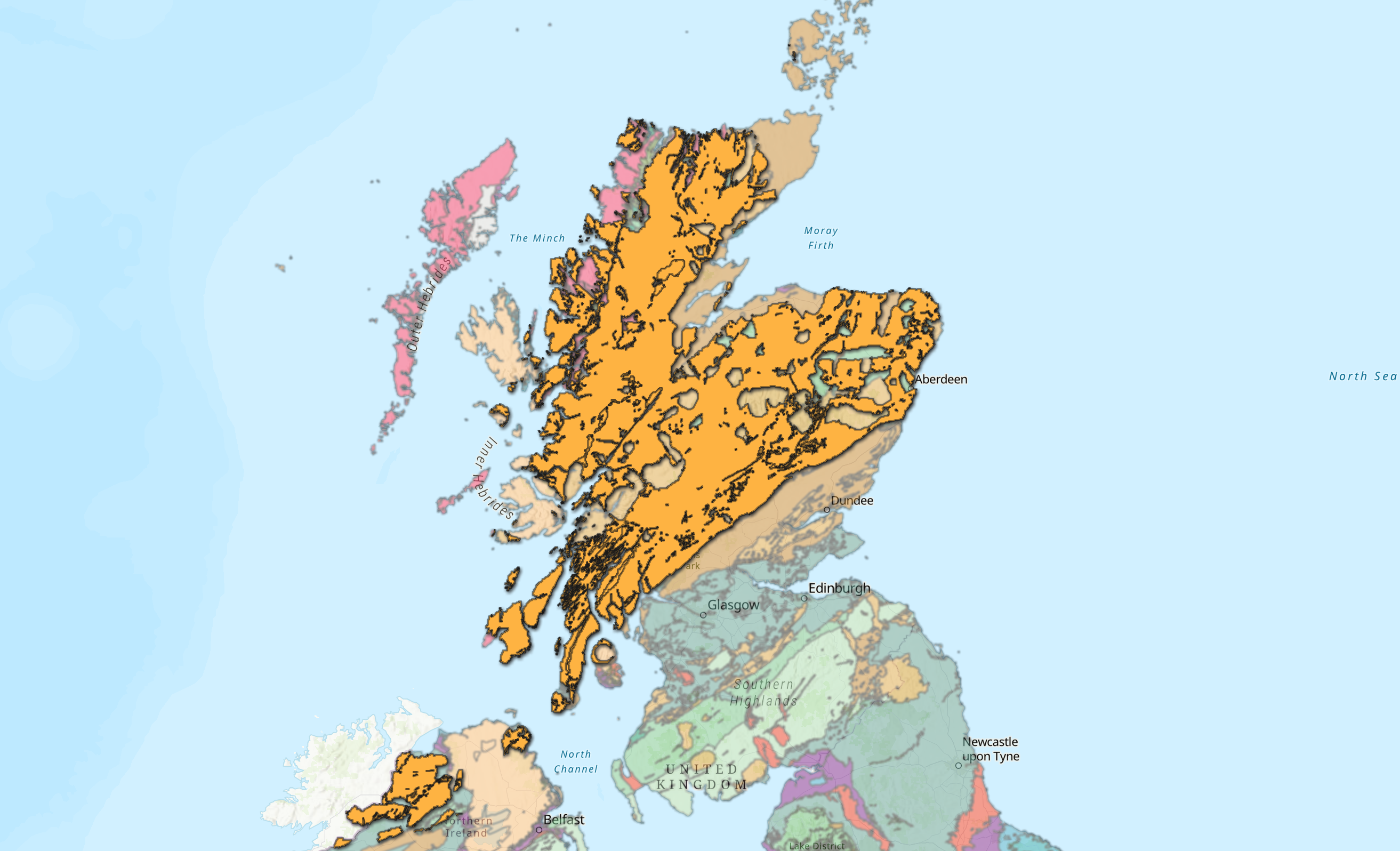
Digging into the New British Geological Survey Geology Data
Ever wondered what’s going on right beneath your feet? If your answer is yes, then keep reading to find out about our latest edition to the Living Atlas. The ArcGIS Living Atlas of the World is an evolving collection of … Continue reading
Continue ReadingNever miss bin day again with ArcGIS Instant Apps
ArcGIS Instant Apps is a fantastic way of providing members of the public with the latest information. Are you a utility company that needs to provide service updates to customers, or a local council needing to inform their constituents of … Continue reading
Continue Reading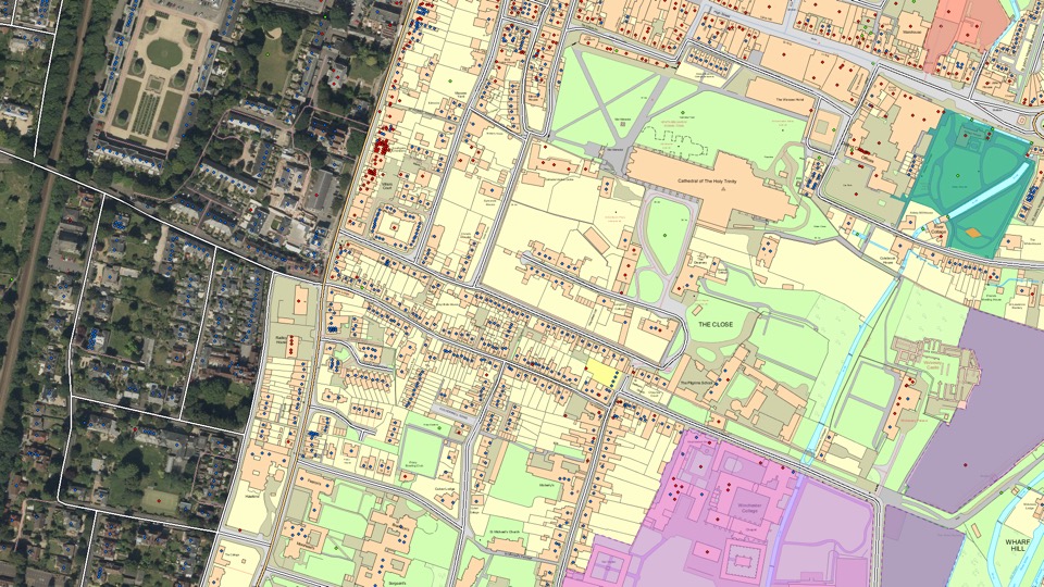
Ordnance Survey
With the ArcGIS System and the exemplar application of Sweet for ArcGIS we have created a lighthouse geospatial platform that is already seeing impactful, measurable benefits.
Continue Reading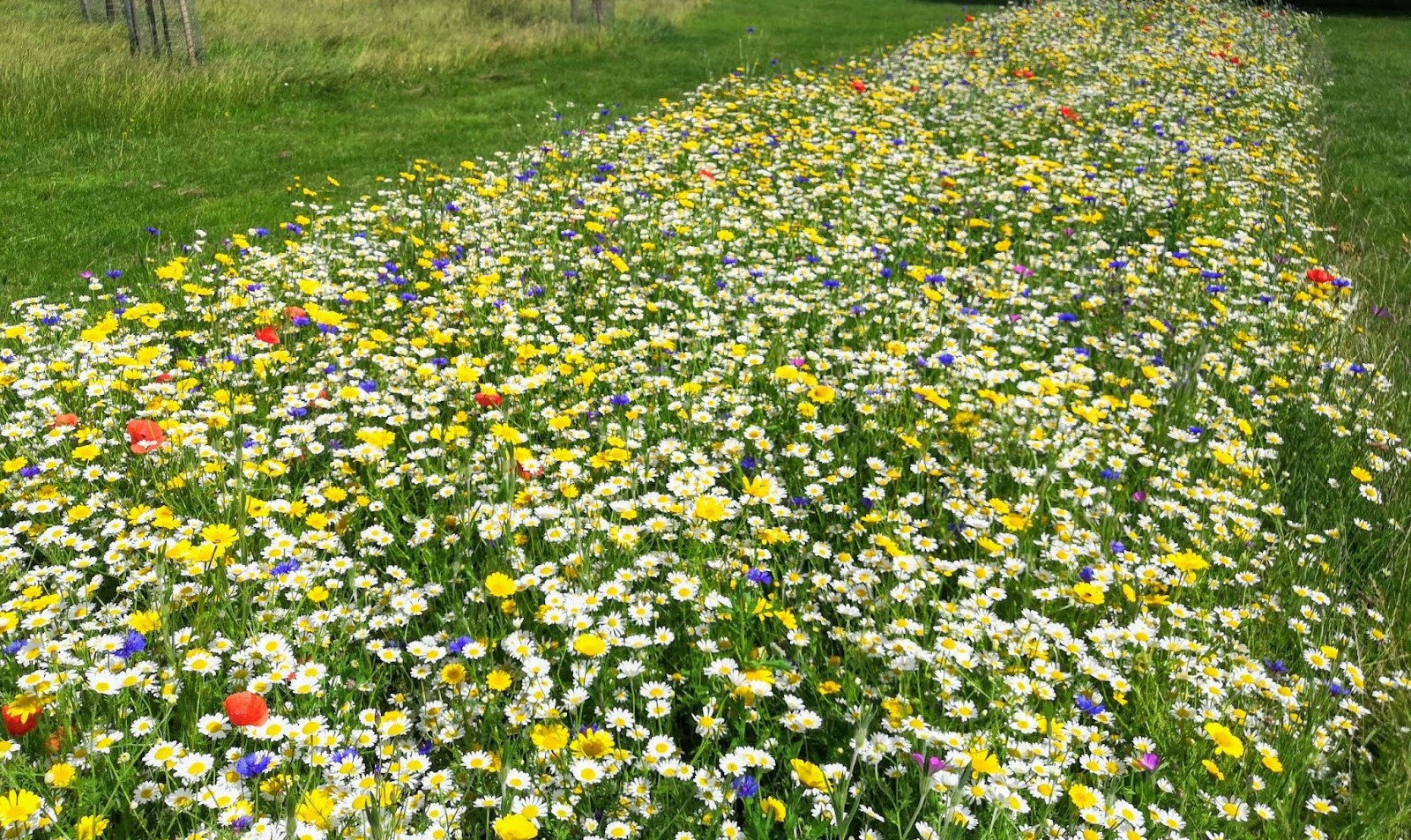
Thanet District Council
With ArcGIS Hub, we are successfully engaging with citizens and community groups to create desperately-needed new habitats for pollinating insects.
Continue Reading
Stantec
We have used ArcGIS to create a ground-breaking solution that helps firefighters extinguish fires more quickly.
Continue Reading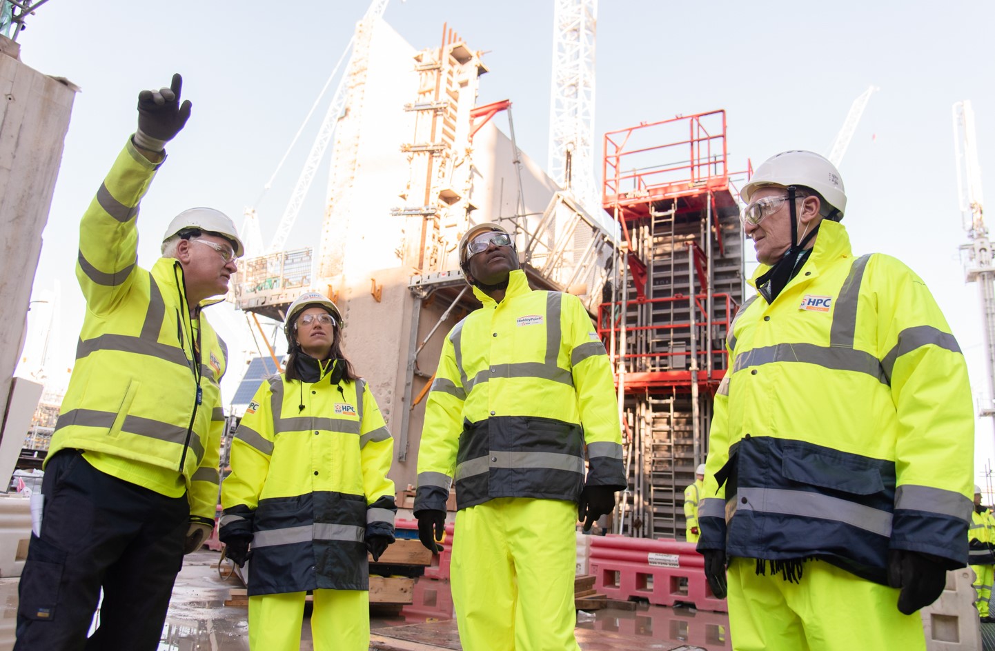
EDF
During the important project to construct a new nuclear power station for Britain, we are using ArcGIS Enterprise to help us work efficiently and safely.
Continue ReadingWant a ‘Starry Night’ inspired basemap? We Gogh you covered.
Cartographers have always been influenced by artistic practices, so wouldn’t it be great if we could make maps in the style of our favourite paintings? This idea may seem a little outlandish but with the help of modern-day GIS technologies, … Continue reading

Coastal Atlas Ireland
ArcGIS Hub is enabling us to transform recreational anglers into citizen scientists and encourage more people to play an active role in helping to conserve Ireland’s fish stocks.
Continue Reading
Inland Fisheries Ireland
ArcGIS Hub is enabling us to transform recreational anglers into citizen scientists and encourage more people to play an active role in helping to conserve Ireland’s fish stocks.
Continue ReadingGetting started with selectors in ArcGIS Dashboards
Selectors can really enhance your ArcGIS dashboards by making them interactive! Essentially, a selector describes any dashboard element that results in an action on another element of the dashboard. For example, zooming to an area on the map, making a … Continue reading Continue Reading