Tag Archives: ArcGIS Online
Using ArcGIS Online for managing sensitive COVID-19 related data in the UK
There are many amazing examples of GIS being used to help understand and respond to the COVID-19 crisis. In the UK, hundreds of organisations are using ArcGIS Online’s cloud-based tools to manage, analyse and communicate key data related to the crisis. … Cont
Continue ReadingArcGIS Insights for COVID-19 Analytics
The COVID-19 pandemic has presented governments, businesses and individuals with unprecedented challenges. During times of crisis, the ability to quickly extract intelligence from our data is of paramount importance. Through Esri’s Disaster Response Program (DRP) organisations can get complimentary access … Continue Reading
European data hosting for new ArcGIS Online accounts
ArcGIS Online provides a flexible and robust way to manage and deliver your web GIS. But for some of you, having your data hosted in the US was a barrier. One of the recent changes to ArcGIS Online is the … Continue reading
Continue ReadingTracker for ArcGIS updated
Tracker for ArcGIS complements the other ArcGIS mobile apps by allowing field workers to record where they are and where they’ve been. The operations team can monitor the tracks to help ensure their staff are safe, then use ArcGIS to … Continue reading
Continue Reading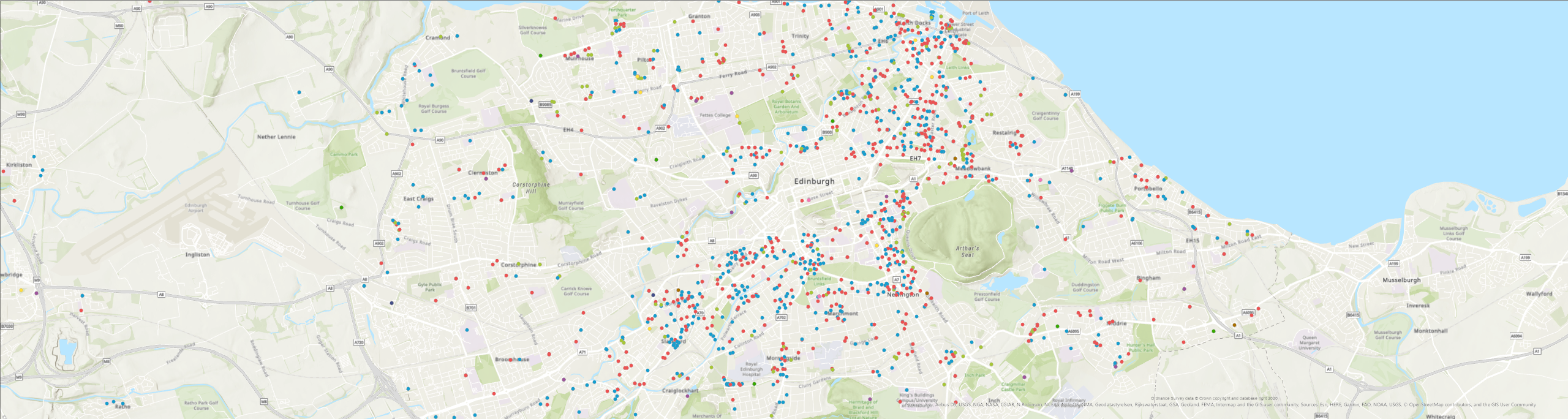
New experiences in the ArcGIS Online March update
ArcGIS Online is being used across the world by organisations in their work to tackle the COVID-19 pandemic. As part of a global programme Esri are providing access to ArcGIS Hub Foundation, built on ArcGIS Online, to support this. Meanwhile … Continue reading
Continue Reading
Dover District Council
By modernising our event approval process with ArcGIS, we have avoided costs of £40,000, freed up hundreds of hours of staff time and improved the efficiency of our service for partners and event organisers.
Continue Reading
LUC – Working on behalf of CPRE
ArcGIS enabled us to uncover clear evidence of the importance of England’s protected landscapes and present complex information in a format that made it really engaging and understandable for everyone.
Continue Reading
Dŵr Cymru Welsh Water
How a spatial approach to data is helping us to enhance catchment management and deliver valuable insights, to create a more efficient business.
Continue Reading
Jacobs
The web app we have developed using ArcGIS is helping our clients to improve efficiency in their infrastructure and other major projects.
Continue Reading
City of London Police
With improved insight into where the majority of crimes occur and the locations of the most harmful crimes, City of London Police can optimise its allocation of resources and prevent more crimes.
Continue Reading