Tag Archives: ArcGIS Online
Getting to grips with Partnered Collaboration in ArcGIS Online
In April this year we announced the release of Partnered Collaboration in ArcGIS Online. With similar terms such as Distributed Collaboration being banded around, it’s easy to get confused! In an attempt to understand how Partnered Collaboration differs from other … Con
Continue Reading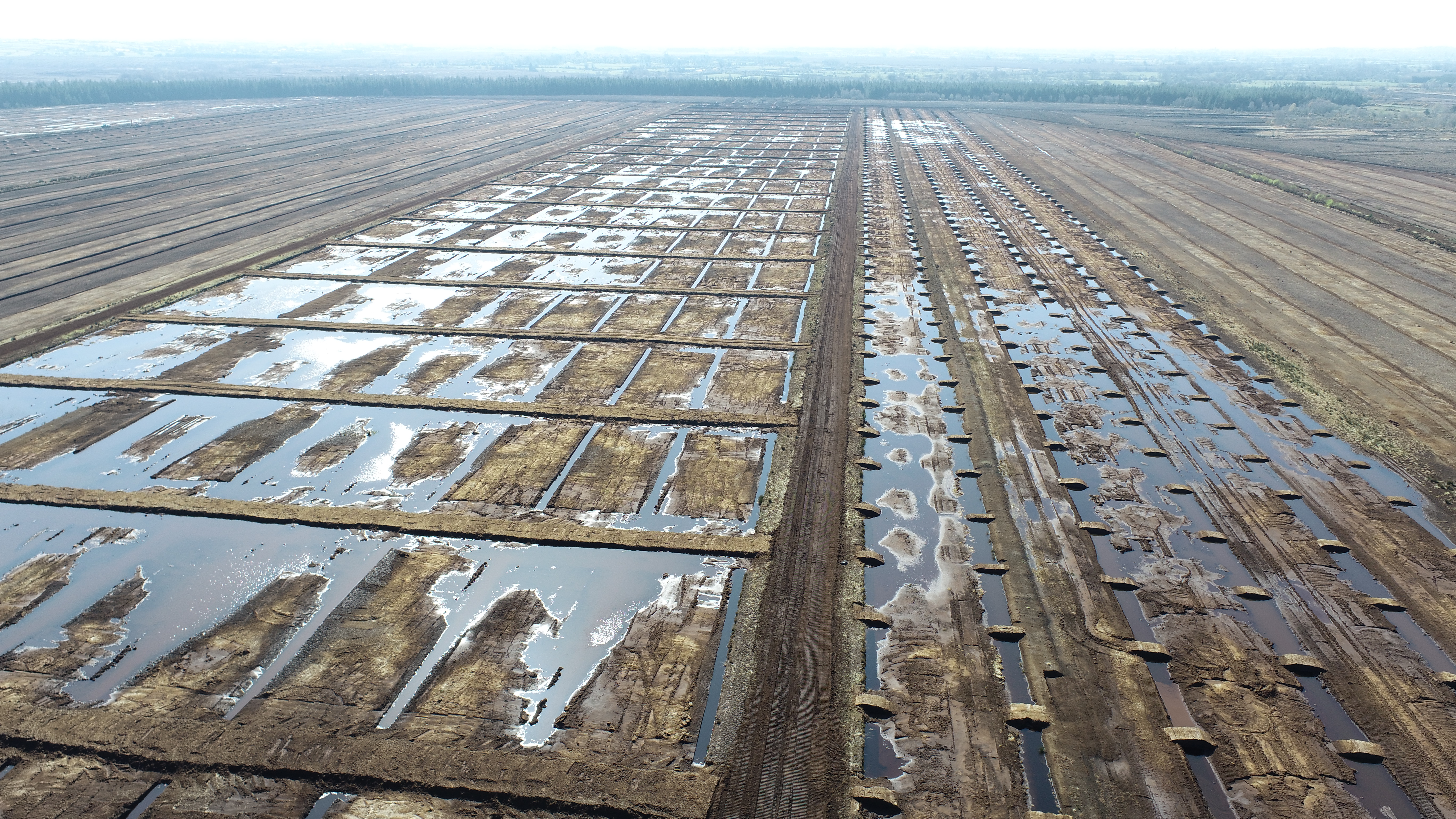
Bord na Móna
We have invested in ArcGIS within the field and on our desktops to inspect contractors' work, track quality control trends and contribute to the success of government energy-saving programmes.
Continue ReadingAn effective ArcGIS Online update
The latest update to ArcGIS Online blew in overnight with the windy weather and I immediately got hooked by the new Effects you can apply to your layers. The update also includes a new Chart type, new Instant Apps, enhancements … Continue reading
Continue ReadingGetting started with ArcGIS Experience Builder
ArcGIS Experience Builder has been floating around as a product for a while now, with its long list of amazing features and the endless possibilities they create. It’s a wonderful product when you wrap your head around it, but perhaps … Continue reading
ArcGIS StoryMaps: immerse yourself in recent enhancements
ArcGIS StoryMaps has been empowering storytellers more than ever this year with a heap of big enhancements. Big, huge, almost too many to keep track of! I’m going to take you on a whistle stop tour of my favourite enhancements … Continue reading
Elevate your editing with the summer ArcGIS Online update
Two exciting new capabilities, another Instant App and a new content experience should be enough to get this ArcGIS Online update into the yellow jersey. As The Tour De France unfolds I can’t help myself but start by exploring French … Continue reading
Continue Reading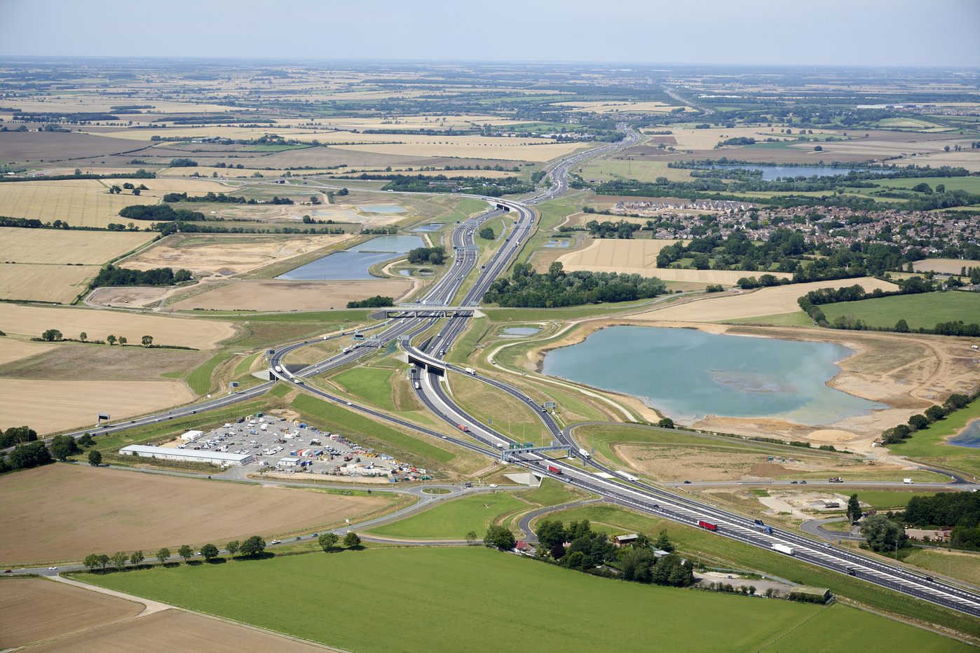
Costain
Our enterprise-wide deployment of ArcGIS is delivering substantial cost and time savings and enabling safer, faster, better, greener and more efficient programme delivery for our clients.
Continue Reading
NHS South, Central and West
The use of ArcGIS for geospatial analysis, temporal modelling and data sharing helped the NHS to plan and deliver a world-leading COVID-19 vaccination programme.
Continue ReadingCreating Vector Tiles
You might have heard about vector tiles recently but not yet used them. Here I will explain what they are, why you should consider using them and how to create them. What are vector tiles? Vector tiles contain vector representations … Continue reading
Continue Reading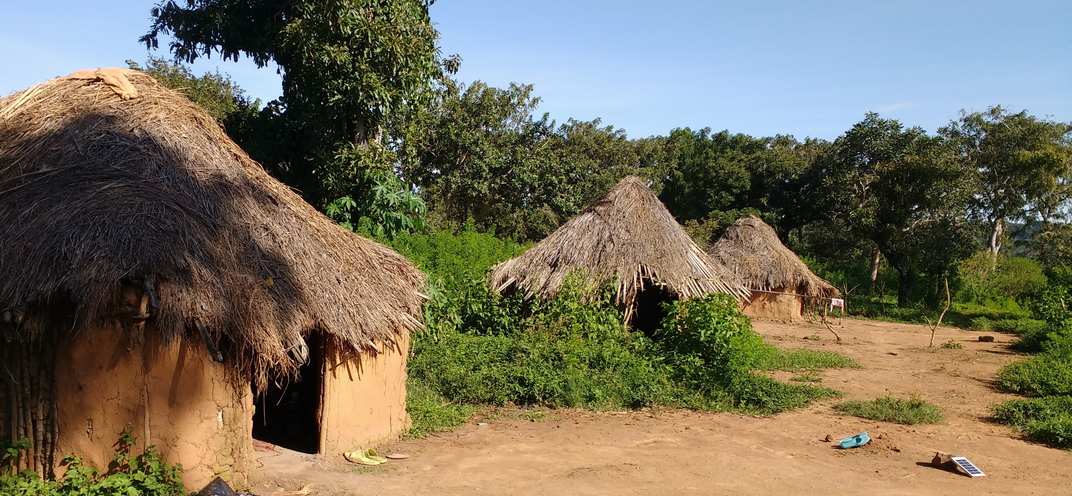
Sightsavers
We use the ArcGIS System to help locate communities at risk from preventable blindness, and treat them. We also share our findings and insights with multiple stakeholders through our Open Data Portal.
Continue Reading